The Best Winter Trails Near Breckenridge for Snowshoeing and Cross-Country Skiing
Looking for an adventure off the slopes this winter? Check out our list of the Top 5 Winter Trails Near Breckenridge!
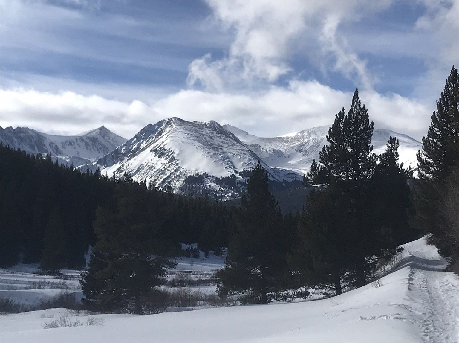
1. Pennsylvania Creek Trail
Photo by Lauren Dunne on AllTrails
This 4.5 mile, moderately rated trail leads hikers along a shaded forest road, opening to gorgeous views as the trail reaches Pennsylvania Creek. In the earlier hours of the day, it is possible to enjoy this trail with only micro spikes, if the trail is already packed down, however on days with fresh snowfall or in the later hours, snowshoes or cross-country skis are needed to avoid post holing. Dogs are welcome on this trail and must remain on leash.
Length: 4.5 Miles
Rating: Moderate
Elevation Gain: 725 Feet
Route Type: Out and Back
Trailhead: Coronet Drive, Blue River
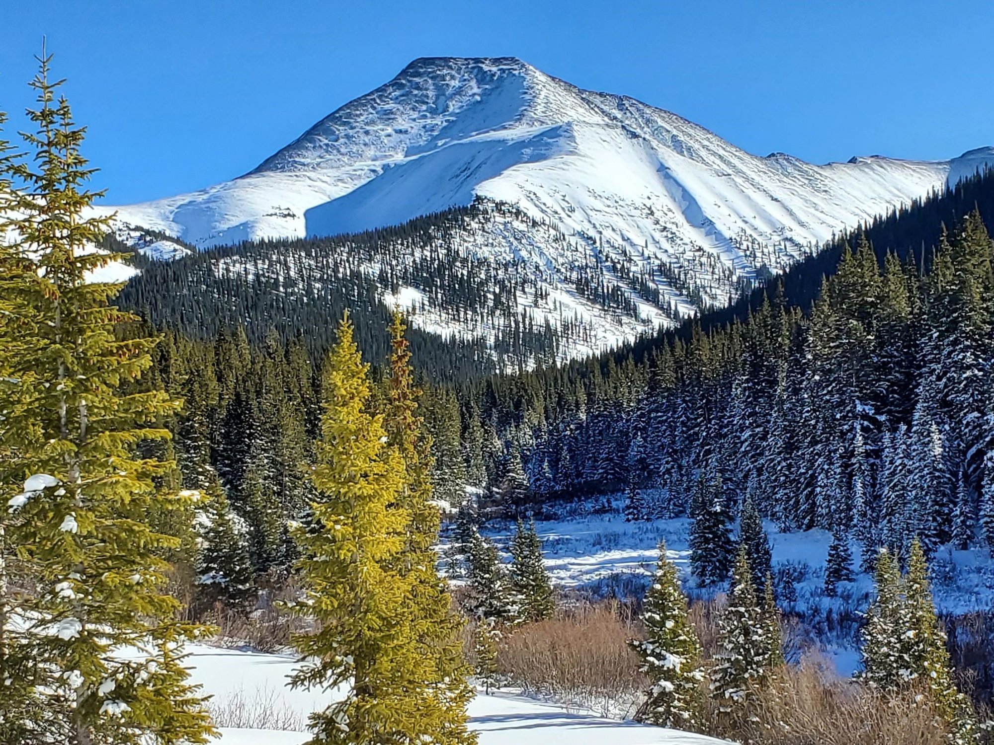
2. Little French Gulch Trail
Photo by Gil Barker on AllTrails
Little French Gulch Trail is an easy to moderately rated out and back trail that runs through a wooded gulch, alongside a creek. The 4.6 mile trail has only 482 feet of elevation gain, making it the perfect trail for families of all ages. Snowshoes or skis are recommended during the winter months. The trailhead is in a neighborhood and parking is limited; hikers can take a free shuttle bus to the trailhead. Dogs are welcome on this trail and may be off leash in some areas.
For more information on the free shuttle bus to Little French Gulch Trail, visit https://www.breckfreeride.com/routes-schedules.
Length: 4.6 Miles
Rating: Easy to Moderate
Elevation Gain: 482 Feet
Route Type: Out and Back
Trailhead: French Gulch Road
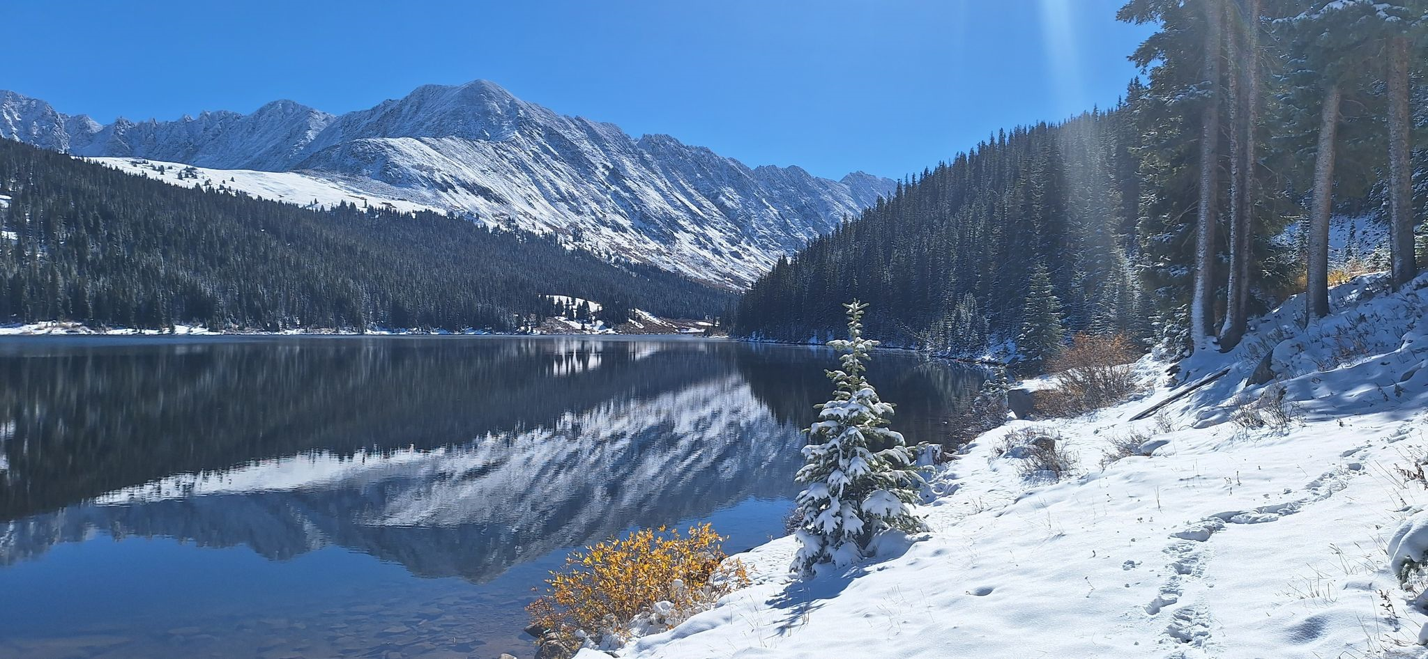
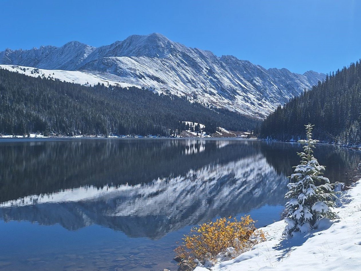
3. Clinton Gulch Dam Reservoir
Photo by Valentina Gatewood on AllTrails
The Clinton Gulch Dam Reservoir loop packs big views into its short 2.4 miles. Rated as easy, this trail is a great choice for anyone looking for gorgeous mountain views without much elevation gain. In the winter this trail is usually packed down for the first quarter to half a mile and then requires snowshoes to continue. Dogs are welcome on this trail and may be off leash in some areas.
Length: 2.4 Miles
Rating: Easy
Elevation Gain: 232 Feet
Route Type: Loop
Trailhead: CO-91
Find this blog post helpful? Make sure you bookmark this page for the next time you're in Breckenridge!
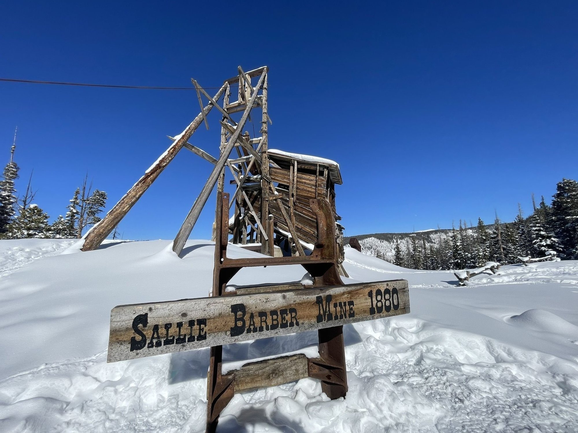
4. Sallie Barber Mine Trail
Photo by Jenny Cote on AllTrails
Sallie Barber Mine is a quintessential Breckenridge trail any time of the year! Snowshoes or cross-country skis are recommended, especially following a fresh snowfall. This 2.8 mile trail is rated easy and with only 393 feet of elevation change, it’s a great trail getting snowshoeing experience without having to leave Breckenridge. This is a popular trail with limited parking at the trailhead. The parking lot fills up quickly and overflow parking on country roads is prohibited so we recommend carpooling or utilizing the shuttle bus. Dogs are welcome on this trail and may be off leash in some areas.
Click here for more information on Summit County’s free shuttle bus to trailheads: https://summitcountyco.gov/586/Transit-Summit-Stage/transit-to-trails
Length: 2.8 Miles
Rating: Easy
Elevation Gain: 393 Feet
Route Type: Out and Back
Trailhead: Sallie Barber Mine Trailhead
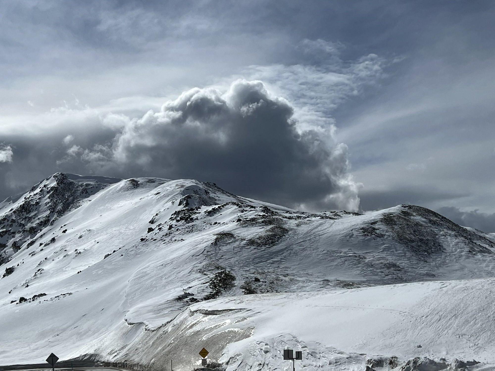
5. West Ridge Trail from Loveland Pass
Photo by Daniel Contreras on AllTrails
Situated across from the popular trailhead for Mount Sniktau, the West Ridge Trail offers expansive views of the Front Range. Starting at just shy of 12,000 feet elevation and gaining an additional 639 feet, this trail can be exceedingly cold during the winter months and proper layers are necessary to stay warm. The very beginning of the trail is often packed down but will require snowshoes or cross-country skis as the crowds thin past the first hill. There are traction laws in place for Highway 6/Loveland Pass from September through May requiring motorists to have either an AWD/4WD vehicle, snow tires, or use tire chains so please plan accordingly. Cell service is limited in this area and weather conditions can change quickly at high altitudes so please “know before you go” – check weather reports, share your plans with a friend or family member, download the trail map or bring a paper map, and carry adequate water. West Ridge Trail is not recommended for inexperienced hikers/skiers during the winter months. Dogs are welcome on this trail and must remain on leash.
Length: 2.8 Miles
Rating: Hard
Elevation Gain: 639 Feet
Route Type: Out and Back
Trailhead: Loveland Pass
Are you planning to tackle this list with your friends and family? Make sure to tag us on Instagram at @breckenridgeassociates when you post your hike so we can reshare!
Find It In The Source
Our annual publication is your go-to guide when buying, selling, and spending time in Breckenridge and Summit County. Stay on top of this year's market trends, listings, important news, what to do in town, and more!
Posted by Breckenridge Associates Real Estate on

Leave A Comment