
8 Must Hike Trails Near Breckenridge
In honor of National Trail Day, we put together a list of must hike trails near Breckenridge. Make sure to tag us on Instagram at @breckenridgeassociates when you post your hike so we can reshare!
-
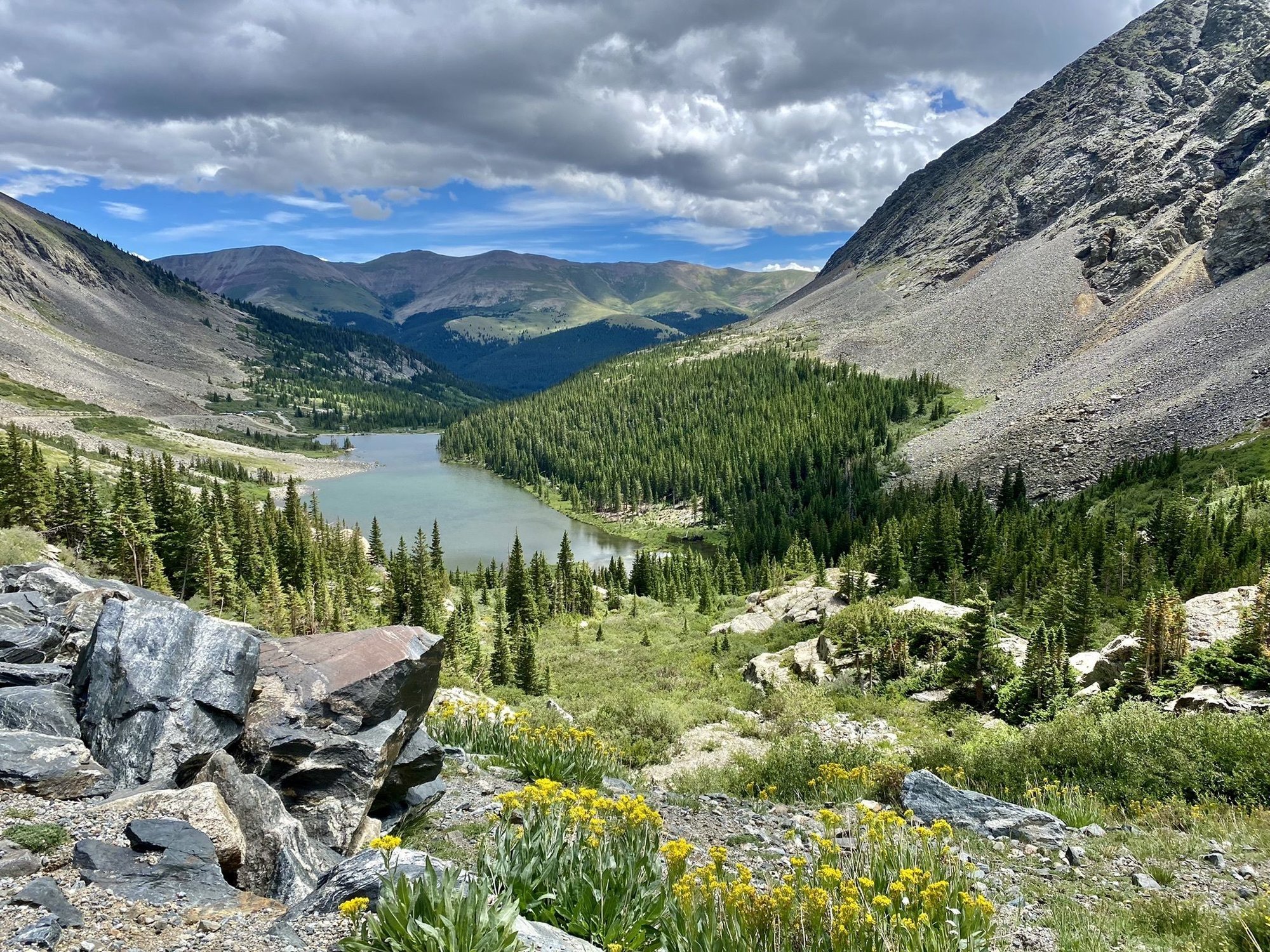
Monte Cristo Gulch
Picture by: Andy Porter on AllTrails
Enjoy views of Quandary Peak on this short but challenging hike. This out and back trail is rated as challenging due to the level of route-finding skills needed and scrambling. Dogs are welcome on this hike, however we recommend you only bring dogs that are comfortable with climbing scree.
Length: 2.8 Miles
Rating: Challenging
Elevation Gain: 1,131 Feet
Route Type: Out & Back
Trailhead: Blue Lakes Trailhead
-
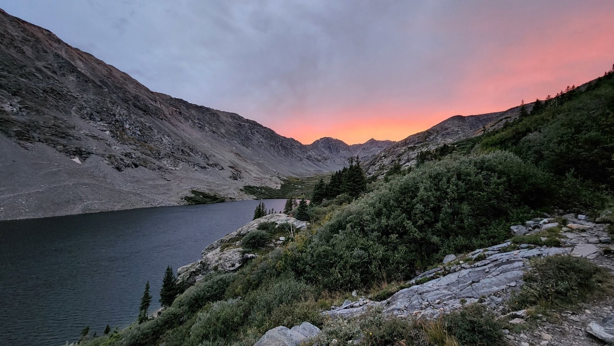
Crystal Lake
Picture by: Holly Walker on AllTrails
Make sure you get to the trailhead early since parking is limited for this popular hike. Follow the HOV trail to Lower Crystal Lake and then continue on to Upper Crystal Lake via the hiking trail. If you do not have a 4WD vehicle it is recommended that you park at the trailhead and hike in to Lower Crystal Lake. This trail is considered challenging. Dogs are welcome and may be off-leash in some areas.
Length: 8.4 Miles
Rating: Challenging
Elevation Gain: 2,568 Feet
Route Type: Out & Back
Trailhead: Mohawk Lake Parking
-
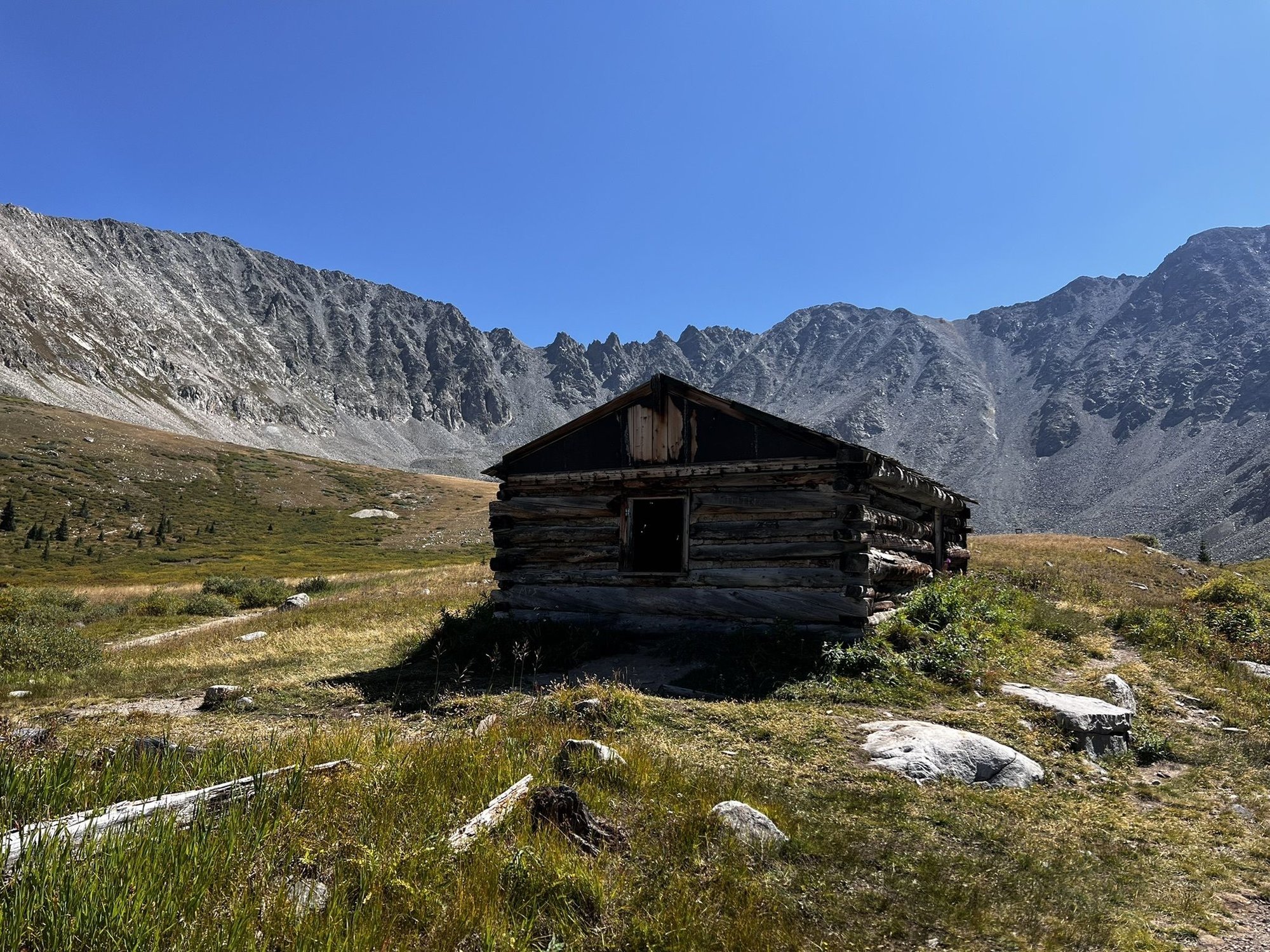
Fredonia Gulch Trail
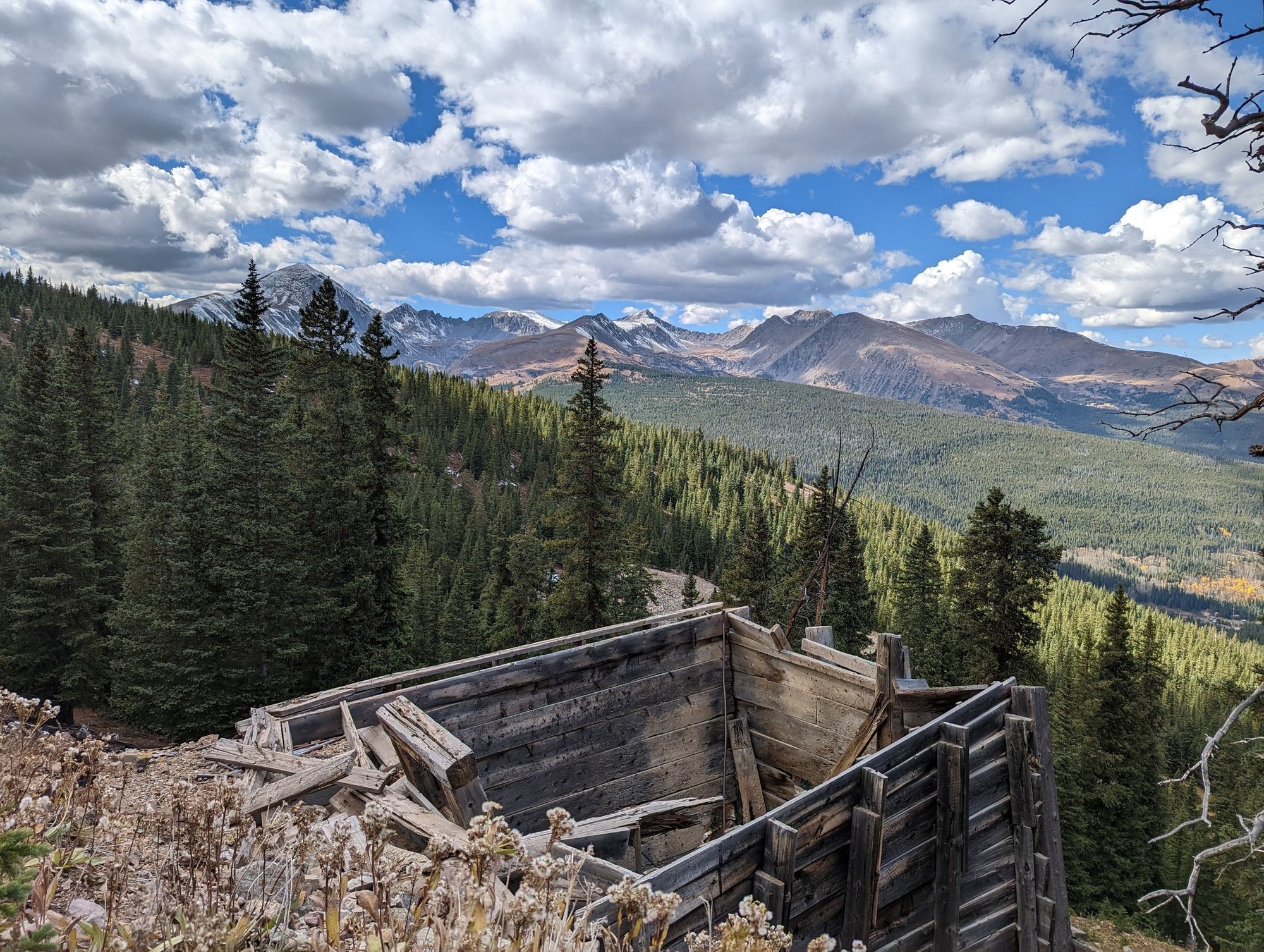
Picture by: Eryka Cassidy on AllTrails
If you’re looking for solitude near Breckenridge, it’s unlikely you’ll encounter many other people on this 4.5 mile out and back trail. This trail is a steady climb to the old Breckenridge Mine site, but the views are worth the effort. The trail is not marked so we recommend downloading a map before you go. Dogs are welcome but must stay on leash.
Length: 4.5 Miles
Rating: Moderately Challenging
Elevation Gain: 1,341 Feet
Route Type: Out & Back
Trailhead: County Road 600
-
Fletcher Mountain from Blue Lakes
Picture by: Amie Heim on AllTrails
If you love a rock scramble, Fletcher Mountain is for you. With lake views and wildflowers in the summer, Fletcher Mountain is a challenging hike that offers big rewards. Dogs are welcome on this hike, but we recommend you check weather conditions before bringing your pooch along as this hike offers little to no shade. Make sure you pack plenty of water in the warmer months and wear proper hiking footwear for navigating the jagged rocks and scree.
Length: 5.0 Miles
Rating: Challenging
Elevation Gain: 2,194 Feet
Route Type: Out & Back
Trailhead: Blue Lakes Trailhead
Find this article helpful? Make sure you bookmark this page for the next time you’re in Breckenridge!
-
Atlantic Peak via Mayflower Gulch Trailhead
Picture by: Kerry Leotscher on AllTrails
Atlantic Peak’s lightly trafficked trail is considered challenging and only recommended for the true adventurer. This trail requires route-finding skills and starts out with a bushwhack to the start of the trail. We recommend downloading the map before you go. Some scrambling is required and hikers should watch their footing as they follow the ridge to the peak. Make sure you don’t stop short as you pass two false summits before you reach the true summit.
Length: 6.6 Miles
Rating: Challenging
Elevation Gain: 2,847 Feet
Route Type: Out & Back
Trailhead: Mayflower Gulch Trailhead
-
Pacific Tarn Trail
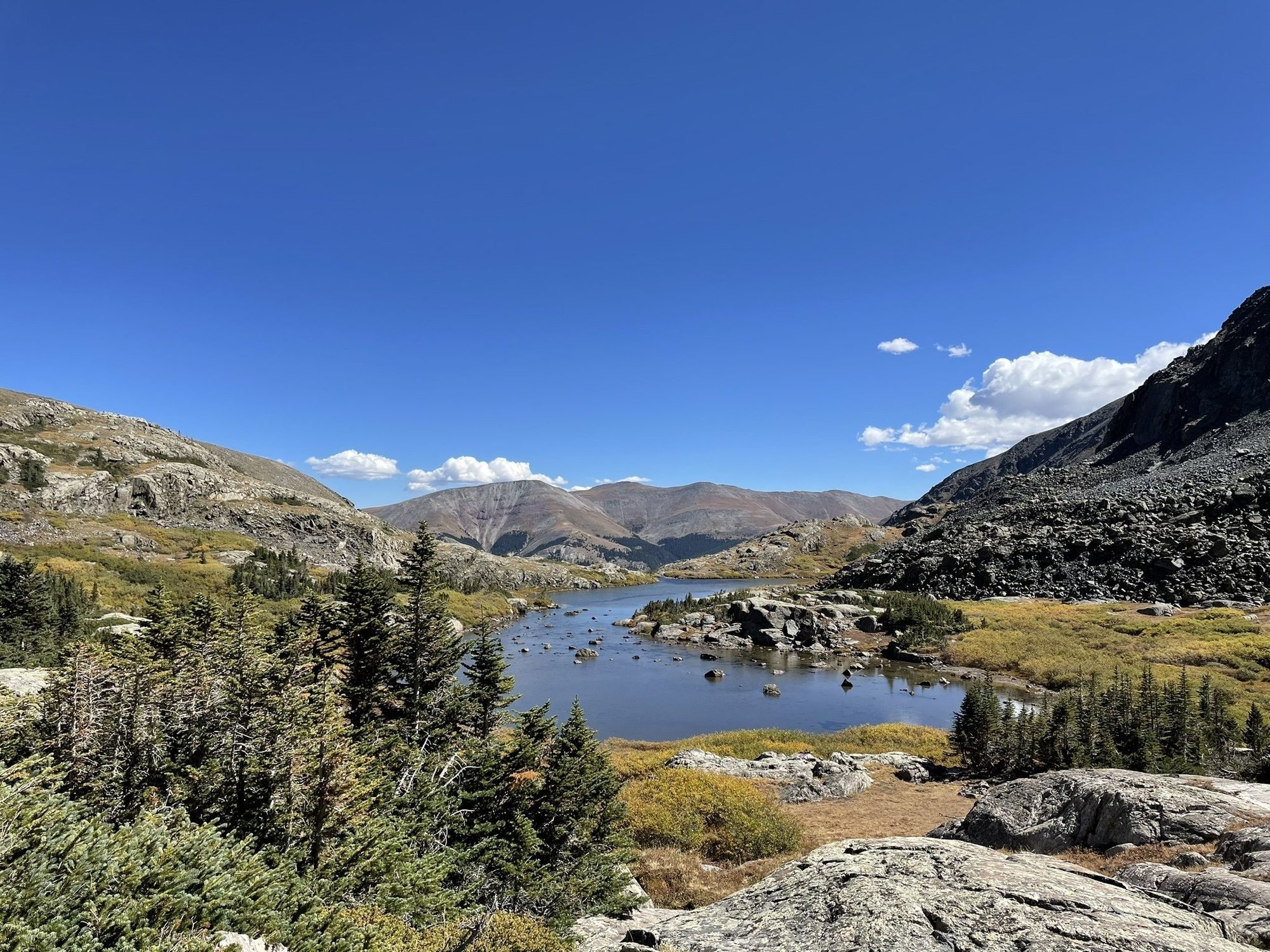
Picture by: Michael Pattullo on AllTrails
Known for its gorgeous scenery, Pacific Tarn Trail is a popular hike near Breckenridge. The scramble up the gully is considered a class 3 scramble and helmets are recommended for this portion of the hike. Parking at the trailhead is by reservation only and there so be sure to plan ahead - click here for more information. Dogs are welcome on this hike and may be off-leash in some areas.
Length: 6.5 Miles
Rating: Challenging
Elevation Gain: 2,362 Feet
Route Type: Loop
Trailhead: McCollough Gulch Road
-
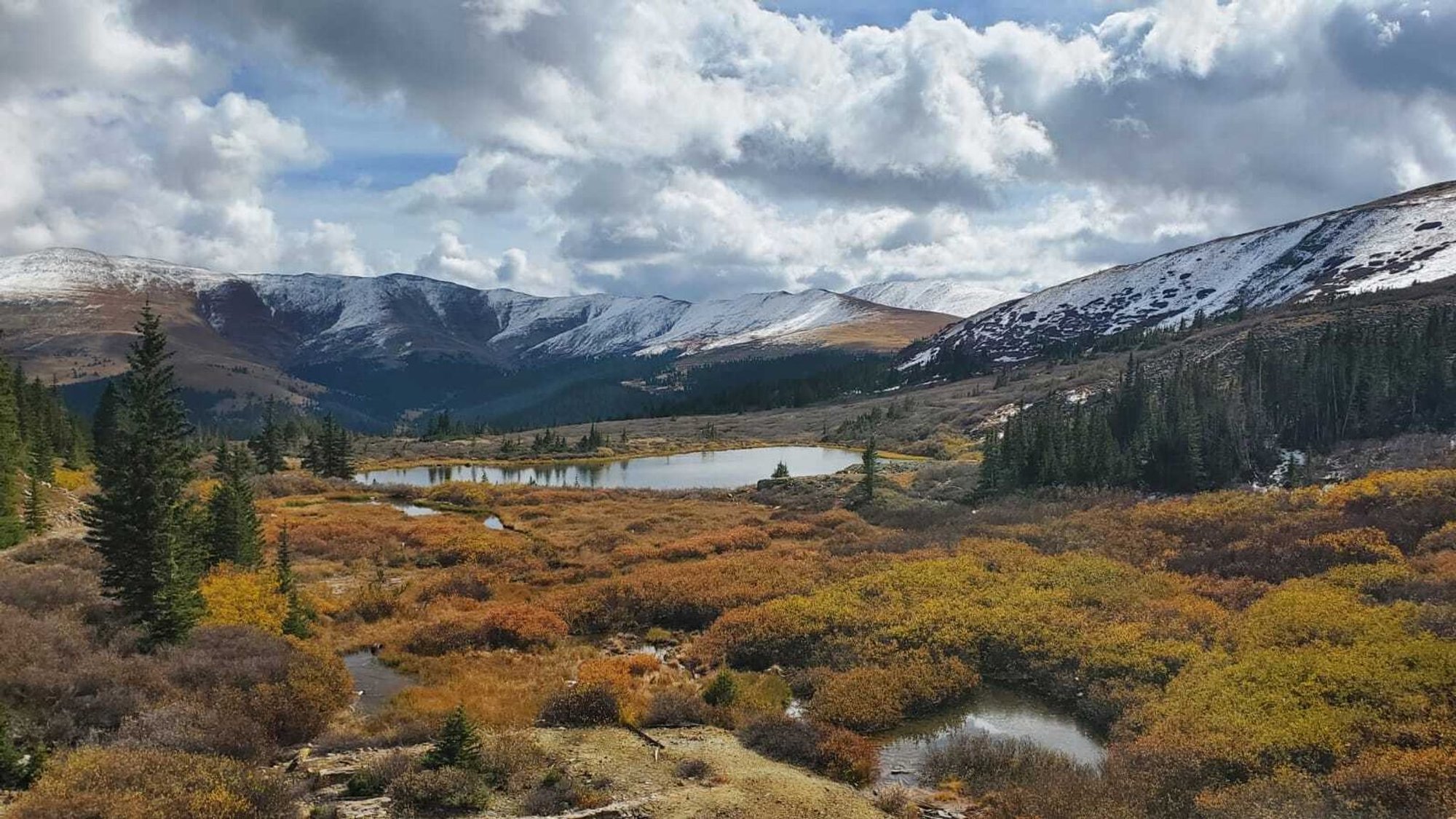
Prospect Hill Trail
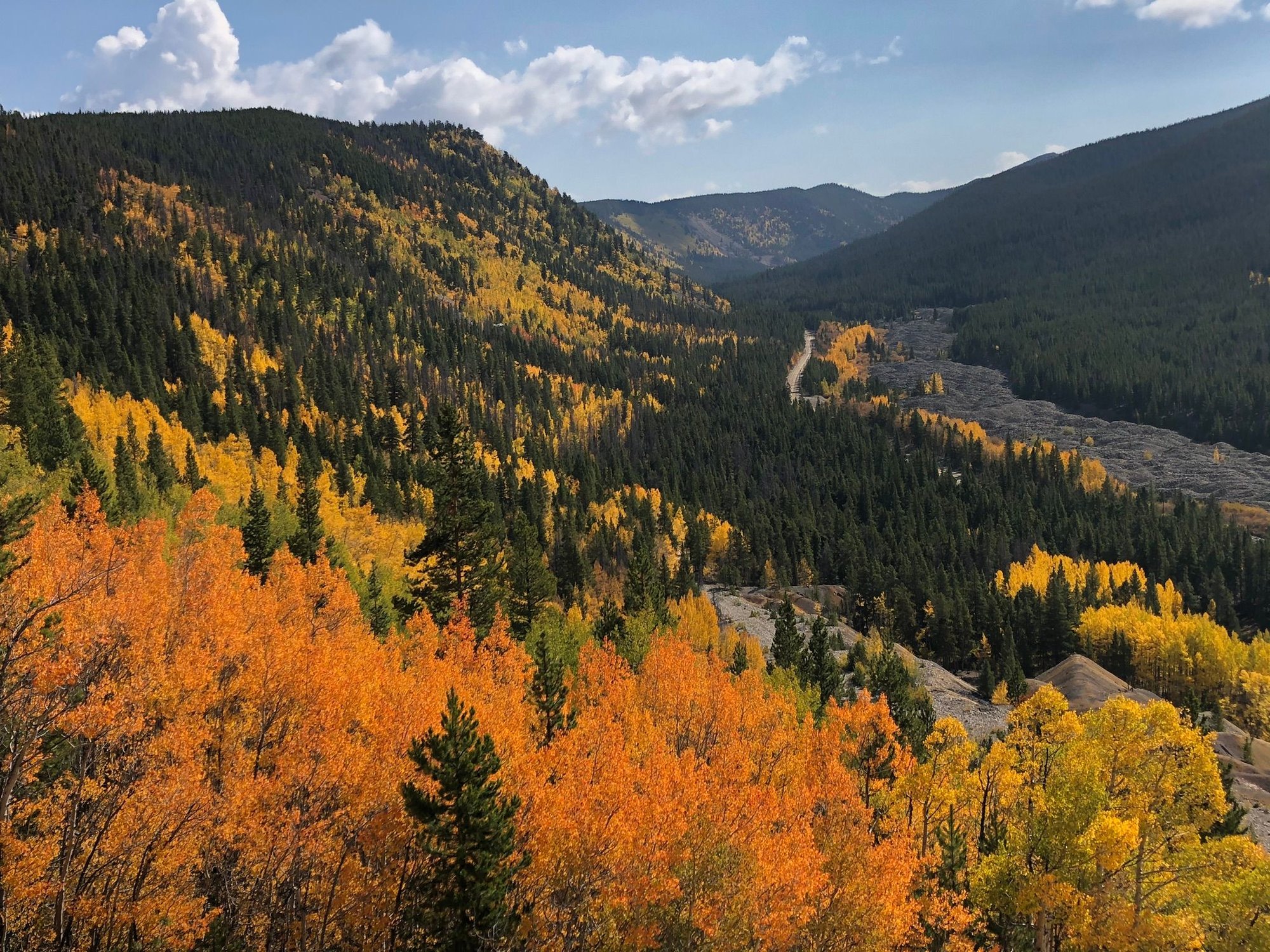
Picture by: Michele Elias on AllTrails
Prospect Hill Trail is a popular trail for hiking and running right in Breckenridge. This hike offers expansive views of the surrounding areas and is a great hike to keep in your back pocket for leaf peeping season. Most of the elevation change is in the first half of the hike. This hike is dog friendly and dogs may be off-leash in some areas.
Length: 6.1 Miles
Rating: Moderately Challenging
Elevation Gain: 1,092 Feet
Route Type: Loop
Trailhead: Gold Run Road
-
Mount Royal
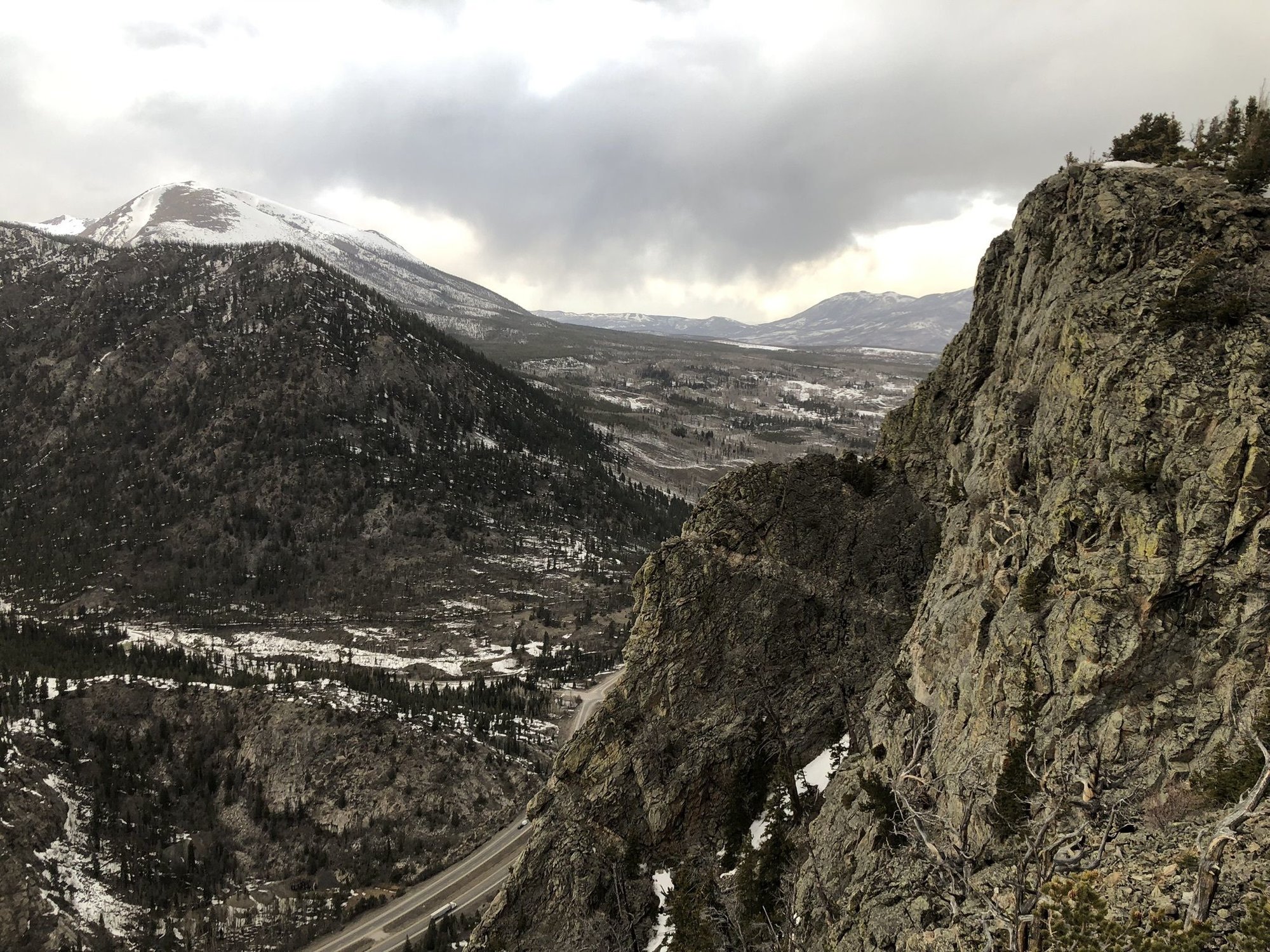
Picture by: Ryan Teel on AllTrails
Mount Royal is a fun hike no matter the time of year. Right off Main Street in Frisco, this hike is easily accessible and very popular. Be prepared for a steep incline as soon as you start hiking and watch your step on the way down, the loose rock near the top can be slippery. Dogs are welcome on this hike but must remain leashed. This hike offers shade most of the way up and you’re generously rewarded with gorgeous views once you reach the top. If you feel up for the challenge you can continue on to Mount Victoria and Peak One.
Length: 3.9 Miles
Rating: Challenging
Elevation Gain: 1,374 Feet
Route Type: Out & Back
Trailhead: Kayak Overnight Parking Lot
Find It In The Source
Our annual publication is your go-to guide when buying, selling, and spending time in Breckenridge and Summit County. Stay on top of this year's market trends, listings, important news, what to do in town, and more!
Posted by Breckenridge Associates Real Estate on
Leave A Comment