5 Beautiful Waterfall Hikes Near Breckenridge
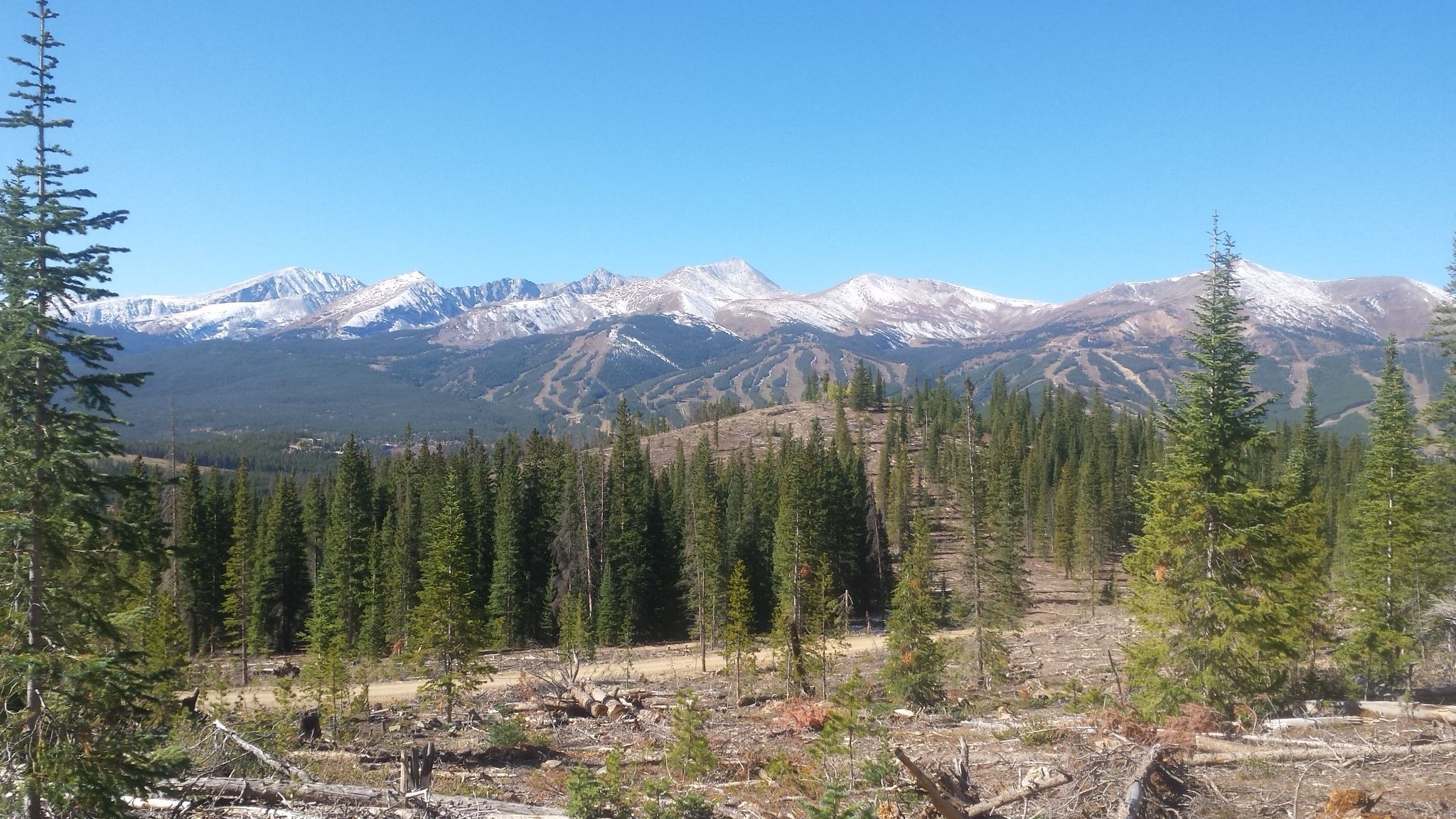
With an average of over 300 inches of snowfall every year in Breckenridge, it only makes sense that the runoff would create some of the most beautiful high alpine waterfalls in Colorado’s backcountry. We’ve compiled a list of the 5 most beautiful waterfall hikes near Breckenridge to add to your summer adventure bucket list!
Picture by: Mike Peoples on AllTrails
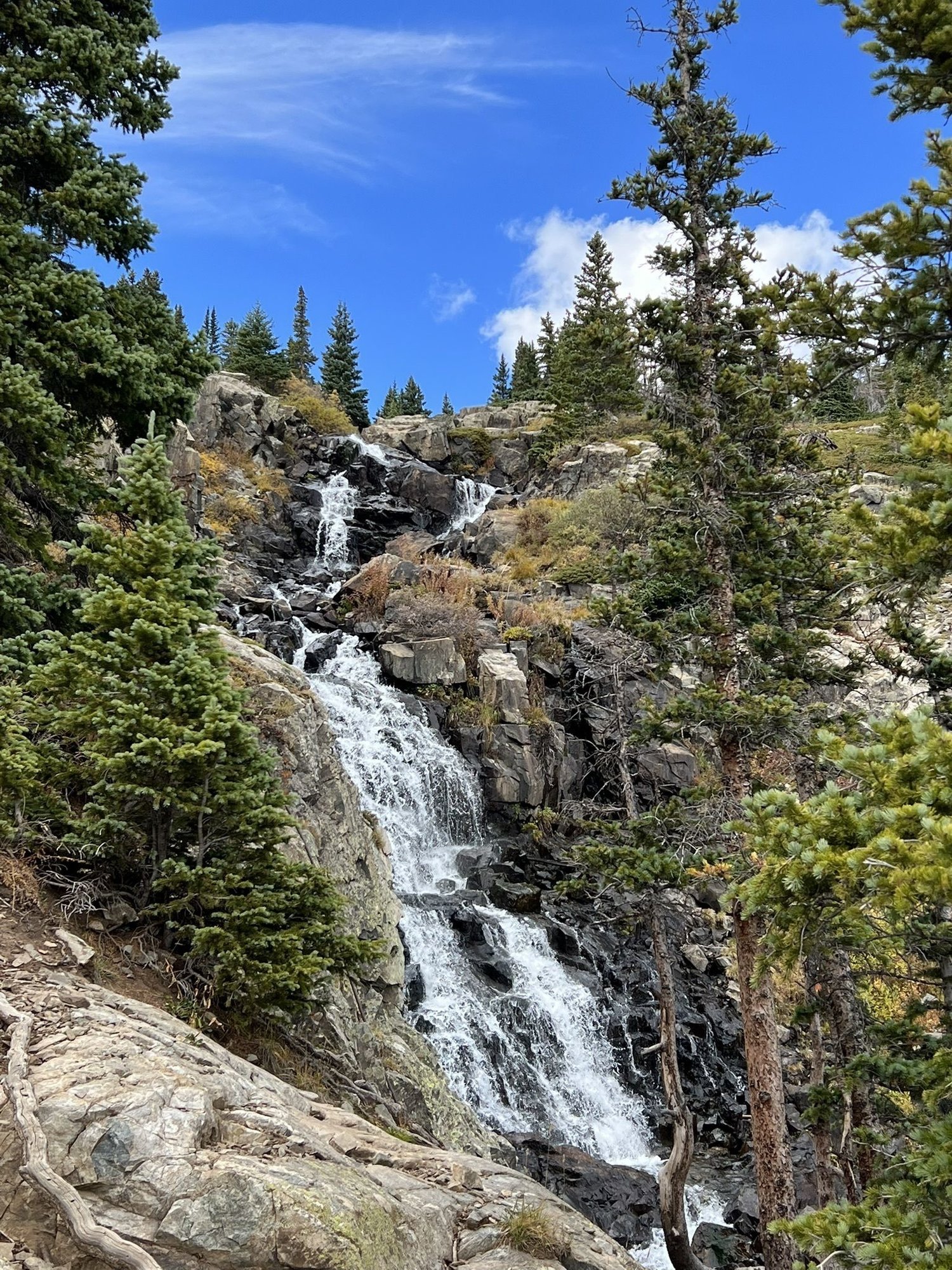
Located just outside of Breckenridge off Hoosier Pass, McCullough Gulch Waterfall Trail is a popular hike offering quintessential Colorado views of rocky peaks, columbine flowers, and mountain goats. Reservations are required for this trailhead June through September from 5 am to 3 pm, outside of this time period parking is free and first come, first served. Reservation prices change based on peak and non-peak days. Four-hour short-term reservations are also available. Shuttles to and from the trailhead run 7 days a week from June through September. Pick up and drop off are at the South Gondola Parking Garage and parking is free at the garage using a code provided in your shuttle ticket confirmation email. For more information on parking at the McCullough Gulch Trail Head, visit https://hikequandary.com/.
Length: 3.6 Miles
Rating: Moderate
Elevation Gain: 1,017 Feet
Route Type: Out & Back
Trailhead: 2179 McCullough Gulch Rd
Photo by: Grace Hamilton on AllTrails
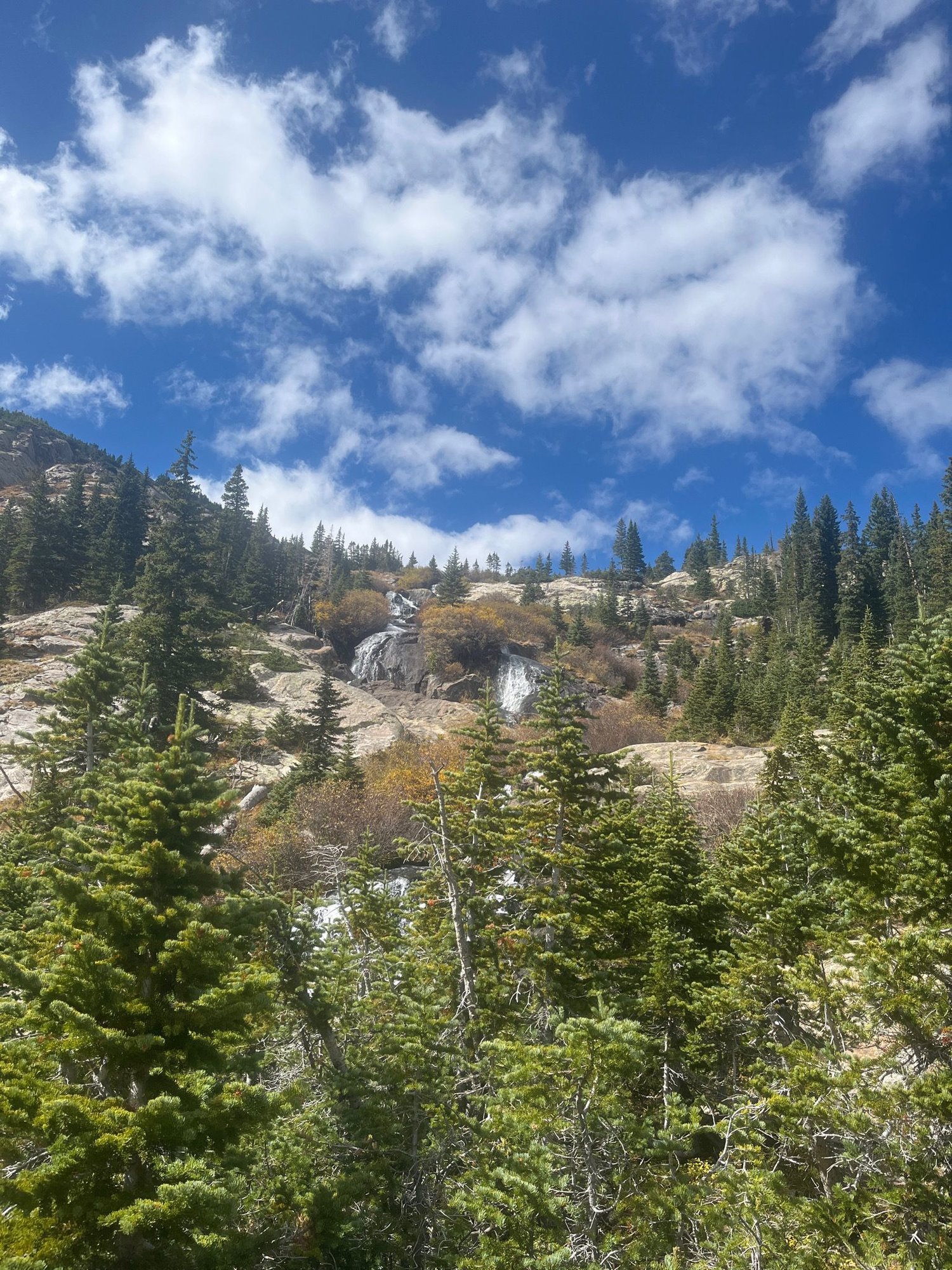
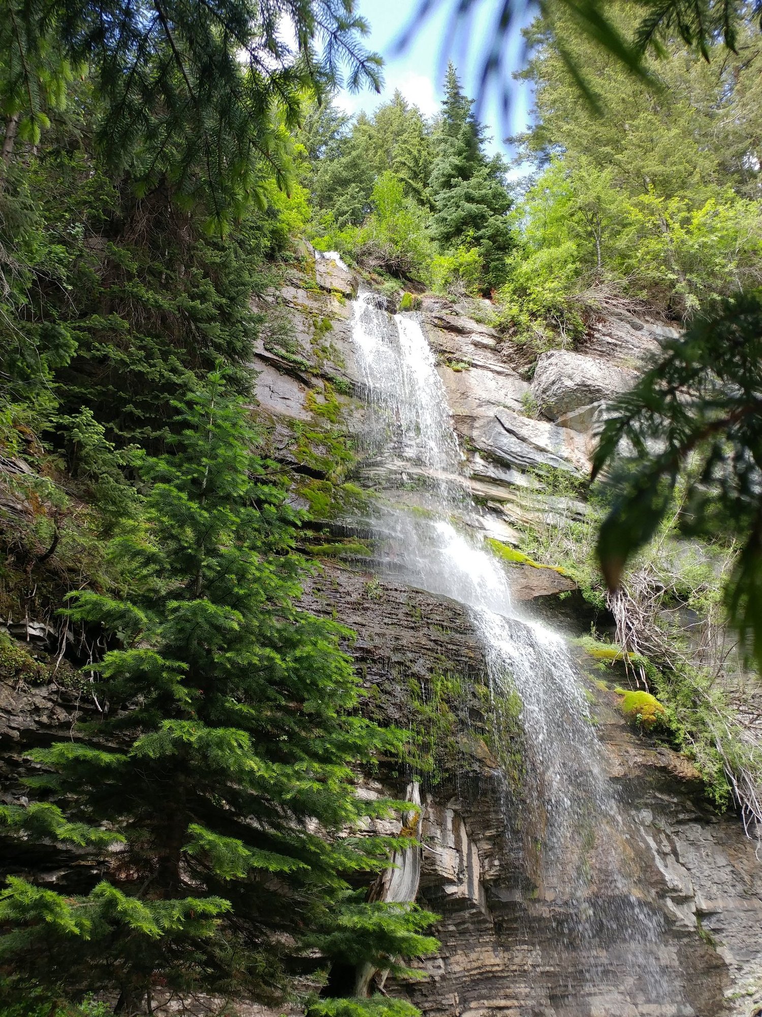
The trail to Willow Creek Falls offers moderate length and elevation gain but is rated hard for the boulder field and the steep descent to the creek from the boulder field. Due to this section of tough terrain, the distance from the beginning of the boulder field to the creek may take longer than expected to cover. The boulder field can be slippery following rain and bug spray is recommended when hiking this trail during peak summer months. This is a popular trail and dogs are welcome but be aware that there is a good likelihood that you will encounter wildlife on this hike, so we suggest keeping your dog on leash.
Length: 4.5 Miles
Rating: Hard
Elevation Gain: 1,131 Feet
Route Type: Out & Back
Trailhead: Buffalo Mountain Trailhead
Photo by: Frank McNabb on AllTrails
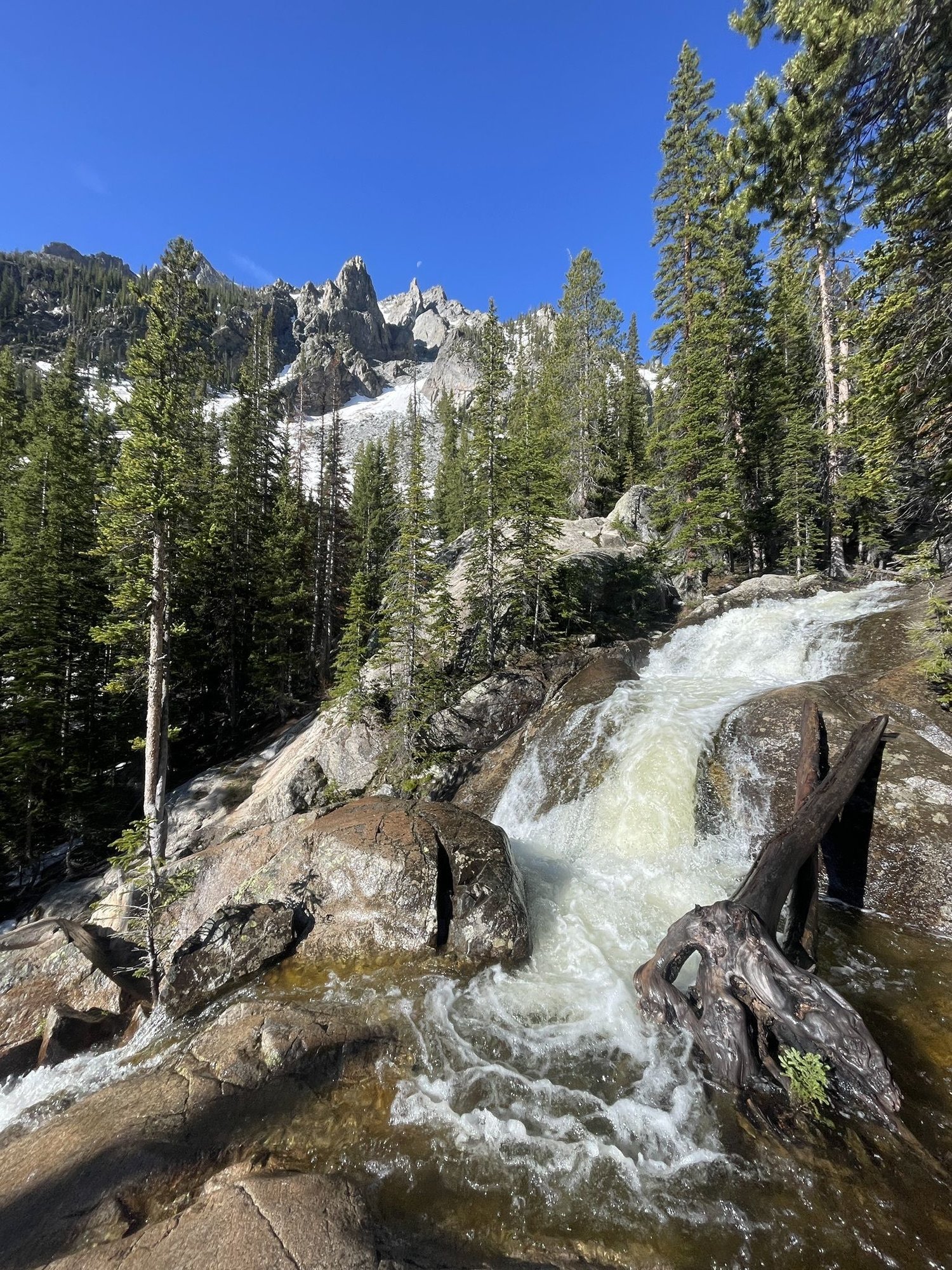
The Spruce Creek trail to Mohawk Lakes and Continental Falls is located about two miles south of Main Street Breckenridge, near Blue River, and is rated as hard for the steep incline from Lower to Upper Mohawk Lakes. During winter this section of the trail may be hard to find and micro spikes or snowshoes are recommended based on the amount of snowfall. This is a popular hike and trailhead parking fills quickly on the weekends and on holidays. Dogs are welcome and may be off leash in some areas.
Length: 6.0 Miles
Rating: Hard
Elevation Gain: 1,712 Feet
Route Type: Loop
Trailhead: Mohawk Lake Parking
Find this article helpful? Make sure you bookmark this page for the next time you’re in Breckenridge!
Photo by: Sarah Skodeck on AllTrails
Booth Falls Trail is one of the most popular hikes in the Eagles Nest Wilderness. Located about 20 miles outside of Breckenridge, in Vail, this moderately rated hike is both an easy drive and rewarding hike, with incredible views of rivers, valleys, aspen groves, and the Ten Mile Range. This trail is best hiked in the summer and fall, but is considered challenging during the winter season and should only be attempted by experienced hikers with the proper gear. Dogs are welcome on this trail but must remain on leash.
There is no parking at the trailhead or in the surrounding neighborhood and parking violations are strictly enforced. Park at the Vail Village Parking Structure and take the free Town of Vail bus to the trailhead. Dogs are not allowed on the bus. Click here for more information on parking and transportation to this trailhead.
Length: 6.0 Miles
Rating: Moderate
Elevation Gain: 1,358 Feet
Route Type: Out & Back
Trailhead: Booth Falls Trailhead
Photo by: Dmitry Khilchenko on AllTrails
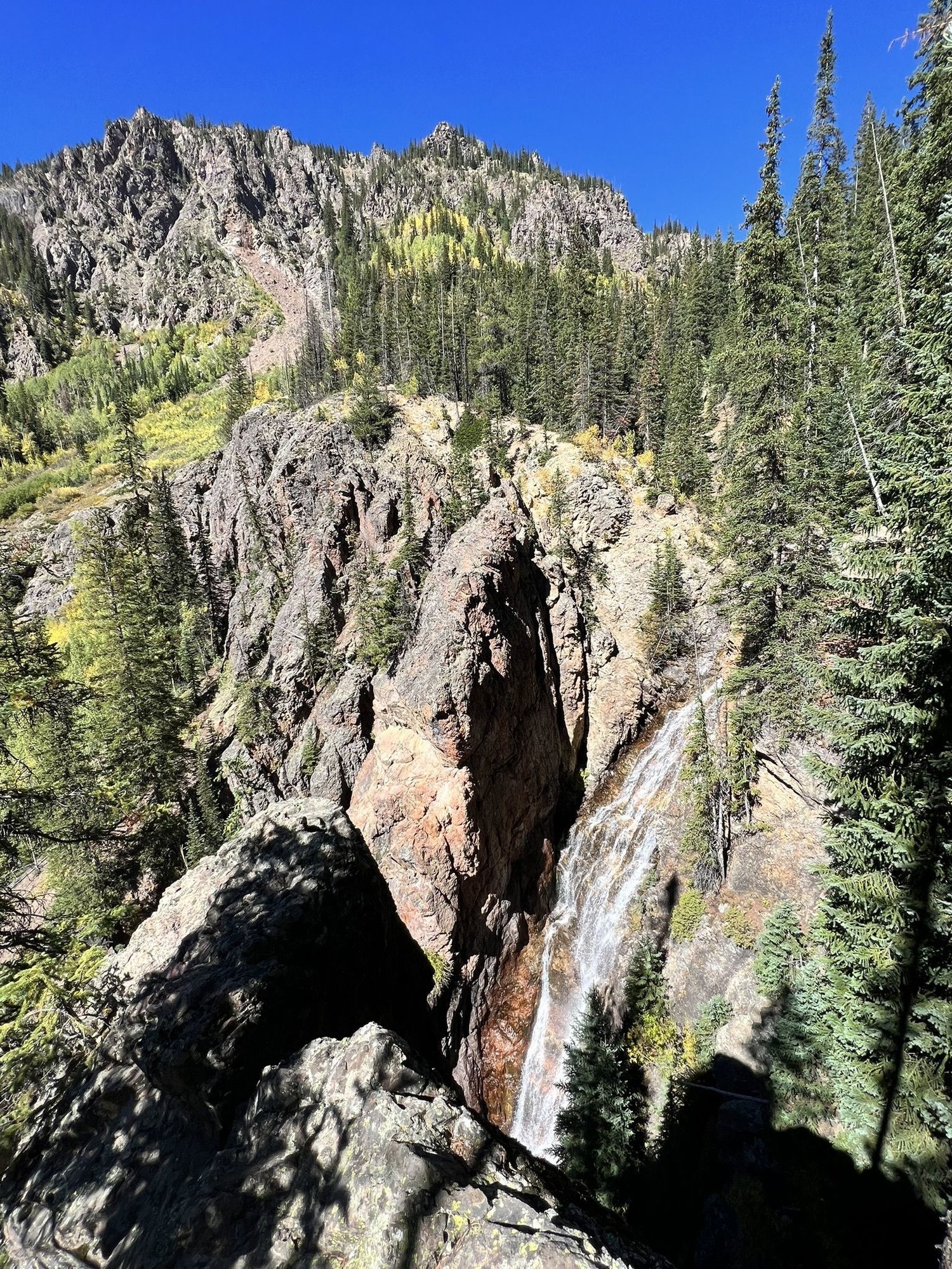
This short but challenging trail to East Vail Falls packs a punch. About 20 miles from Breckenridge, in Vail, the hike to East Vail Falls offers plenty of adventure despite its short length. Hikers will need to climb the provided ropes to reach this waterfall and this hike is not recommended for small children. If you are afraid of heights, this hike might not be for you as some portions have narrow ledges with drop offs. Keep this hike in your back pocket for fall and winter! The changing fall colors and frozen falls offer an interesting contrast to the summer views. If you attempt to hike East Vail Falls in the winter, we recommend wearing micro spikes. Due to safety concerns, dogs are not allowed on this hike.
Length: 0.9 Miles
Rating: Hard
Elevation Gain: 305 Feet
Route Type: Out & Back
Trailhead: Gore Valley Trailhead
Make sure to follow @BreckenridgeAssociates on Instagram and tag us in your waterfall hike pictures so we can reshare your adventure. Happy hiking!
Find It In The Source
Our annual publication is your go-to guide when buying, selling, and spending time in Breckenridge and Summit County. Stay on top of this year's market trends, listings, important news, what to do in town, and more!
Posted by Breckenridge Associates Real Estate on

Leave A Comment